Northbound (NOBO) vs Southbound (SOBO)

Final stretch towards Hachinohe (NOBO)
Planning to thru-hike the Michinoku Coastal Trail but can’t decide which way to go?
Here's the scoop on hiking Northbound (NOBO) vs. hiking Southbound (SOBO) 🚶🥾
SOBO seems to be the more popular direction that most thru-hikers choose. For example, the official maps provided by the Michinoku Coastal Trail Club are numbered from 1-10, starting in Hachinohe and finishing at the southern trailhead in Soma. From memory, most hikers I have met also seem to have taken a SOBO route.
However, in terms of logistics and experience, I would argue that hiking the trail NOBO would be a better bet.
Several others who have walked the full 1,000+km have said the same - see the Michinoku Coastal Trail Facebook group for more!
Here are 4 reasons why I’m glad I walked Northbound along the Michinoku Coastal Trail.

Kabushima Shrine at the northern trailhead (Hachinohe, Aomori). Pro tip: Borrow an umbrella for free to avoid bird droppings.
Easier Planning: Remember that the Natori Trail Centre (about 100km north of the Soma trailhead) is the information hub for the whole trail. Make sure you stop by to ask all of your trail-related questions and - importantly - book your boats across the Urato islands (you need to book several days in advance!). You can also ask about boats to Kinka-san island, as well as Tashirojima island too. Once you get these logistical issues out the way, you can be on your merry way without having to worry about these boat logistics.
Sunlight: Generally speaking, the sun will be shining from behind you if you walk from the south. You can use tools like Sun Direction to simulate the sun's location during your walk, depending on the time of year. Walking north should help your eyes be less strained, and the light shining from behind you should also help you take killer photos too.
Getting into a rhythm: The first section from Soma goes through built-up areas like Soma, Natori, and Ishinomaki cities. It’s also relatively flat, aside from the Mt. Karo area. This allows you to get used to your daily walking rhythm and warm up those legs before venturing into the more rural, wild parts of the trail. There are also quite a few shops in the more built-up areas - so you can take a train to visit outdoor shops in Sendai, for example, if you forgot some important equipment (Montbell, North Face, Patagonia and Ishii Sports all have stores in Sendai, at the time of writing).
Ending on a high note: While there are certainly pleasant sections, such as climbing Mt. Karo and the islands, the first hundred kilometres from Soma city in the south are generally not as spectacular as the northern sections. Also, the southern trailhead itself in Matsukawaura is nothing to write home about (it's essentially a small park with an MCT sign and some rather bewildering wooden statues). The northern part of the trail is the more rural and wild part of the trail, so if you hike NOBO, you'll look have some epic views to look forward to. If you go SOBO, that last section from Natori to Soma will be less of an exciting finale. I much preferred finishing with a bang, walking the final stretch along Aomori's stunning Tanesashi coast, and arriving at the iconic Kabushima Shrine trailhead near Hachinohe. That's a fitting wrap on the adventure of a lifetime - what a high note to go out on!
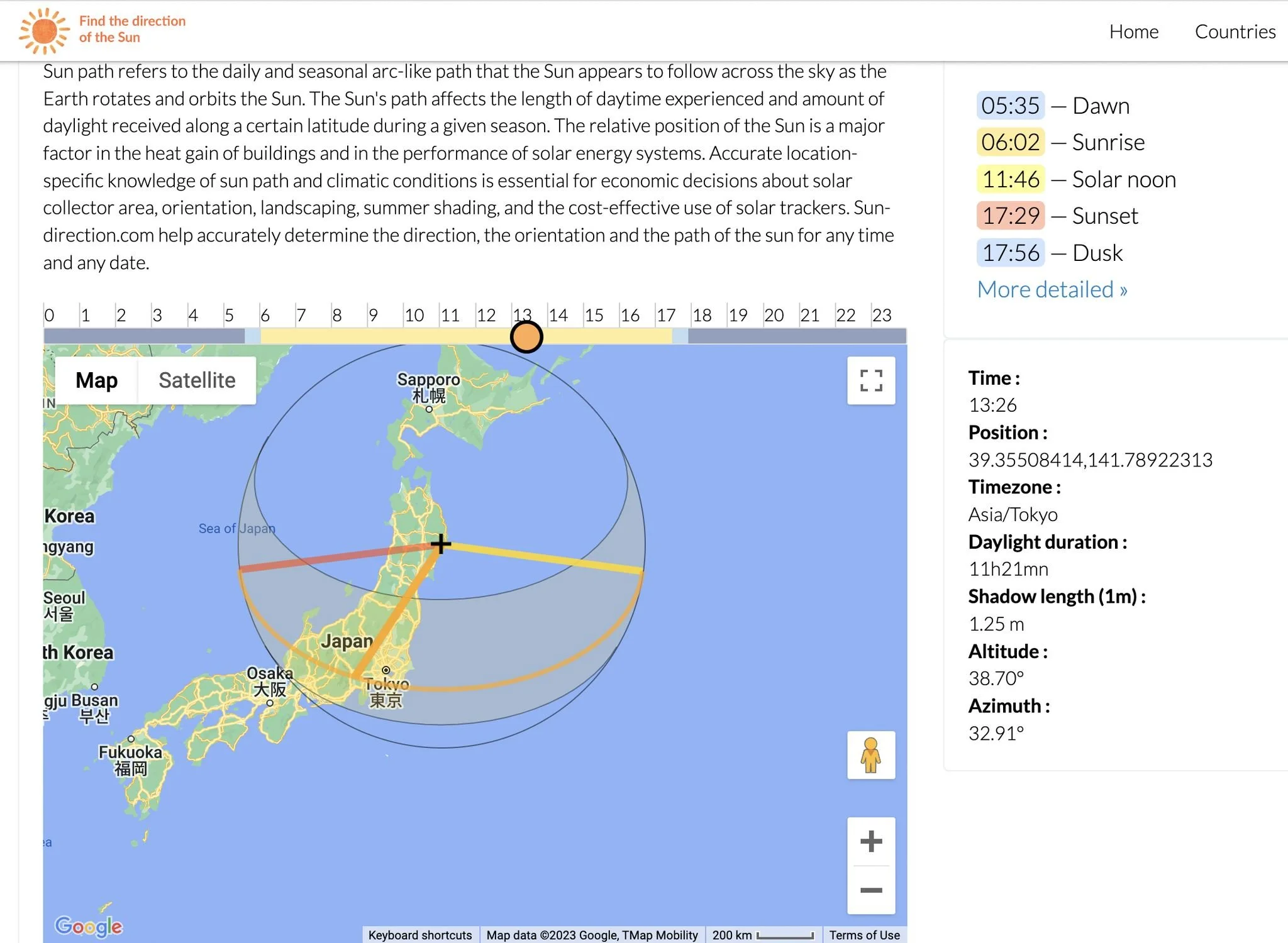
Direction of sunlight along the Michinoku Coastal Trail (Source: Sun-direction.com)